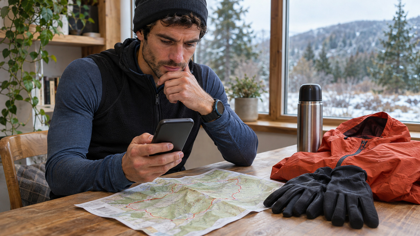
Cold-weather trail planning is less about finding a perfect temperature and more about matching a route to what happens if you slow down. A loop that feels simple while moving can become a long, exposed return when wind rises, a companion turns back, or a navigation error adds time.
Start with forecast variables that change the plan
Check local temperature, wind, precipitation and the timing of changes—not temperature alone. The National Weather Service’s wind-chill guidance is a useful reminder that air movement changes how quickly exposed skin loses heat. Mountain forecasts and land-manager notices take priority over generic city forecasts.
Test the route against three questions
- Where can I turn around? Identify a point before the most exposed ridge, stream crossing or technical descent.
- Where can I get colder? Shade, wind funnels, wet vegetation, summit stops and waiting all count.
- How do I get out if the plan changes? Note the trailhead, a shorter connector, and areas without reliable phone service.
If the answers rely on “we will move faster,” choose a shorter route. Carry navigation, insulation and light for the actual duration, and tell someone the route and return time. A daylight turnaround can be set before the start; see our high-wind ridge turnaround guide.
Observe; do not defend the original plan
Wind at a trailhead may not represent a ridge, and dry ground may not represent a shaded descent. If a runner becomes persistently cold, clumsy, confused, or cannot stay warm after adding layers and reducing exposure, turn toward help and follow local emergency procedures. This is general planning information, not medical advice.
The featured image is an AI-generated usage illustration, not a record of an actual forecast, route or athlete.


コメント